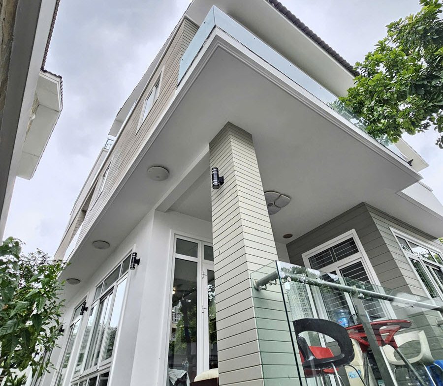
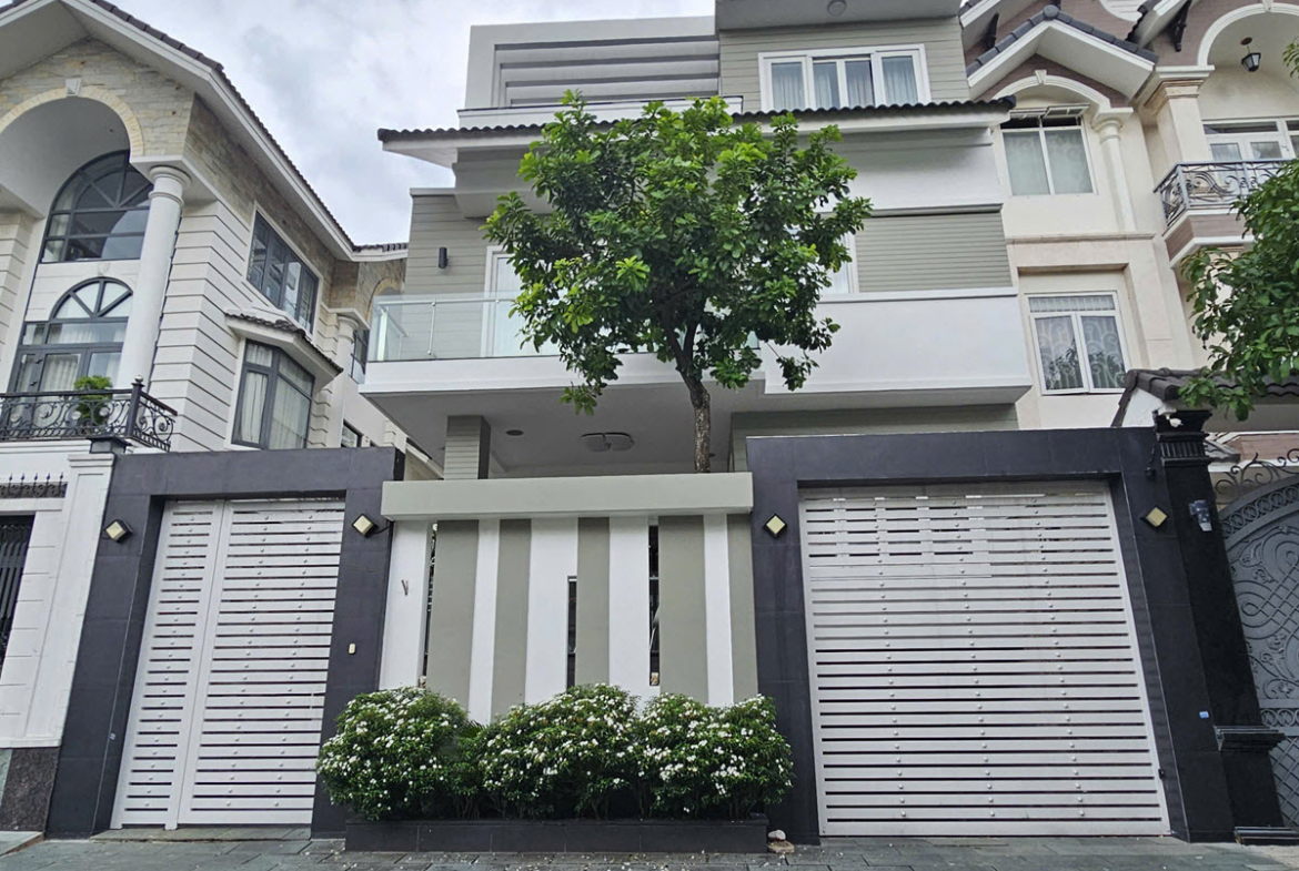
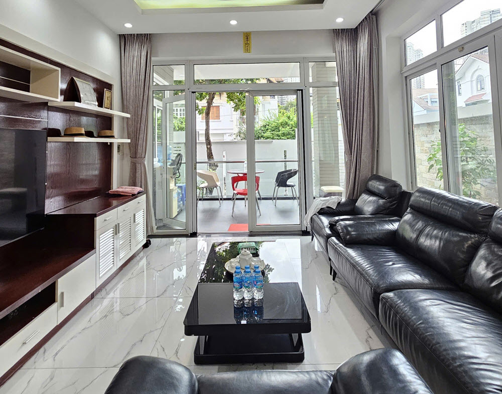
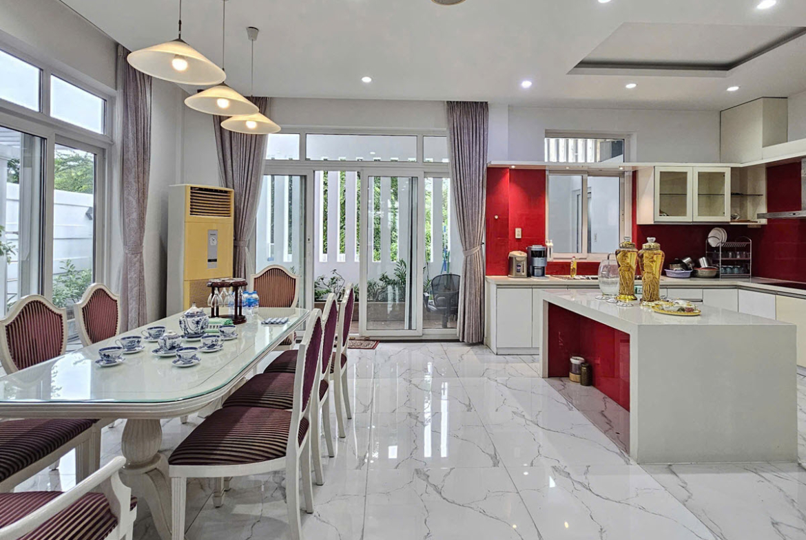
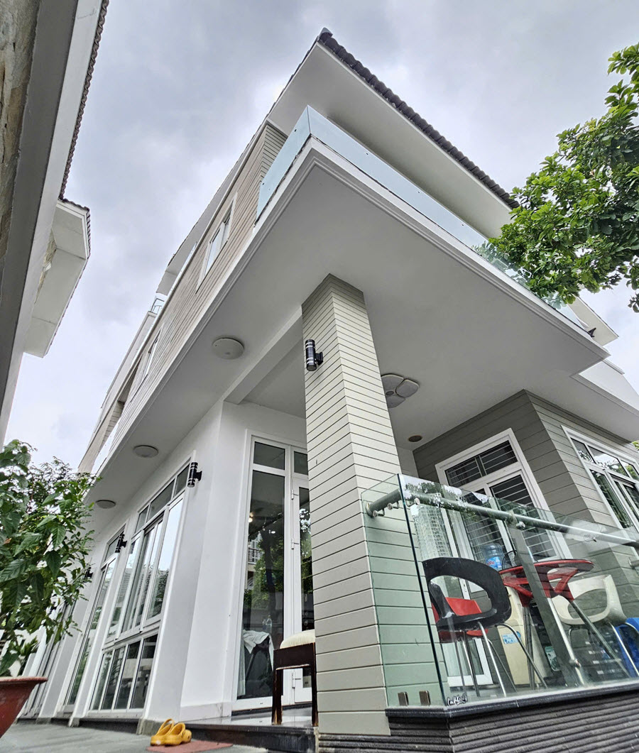
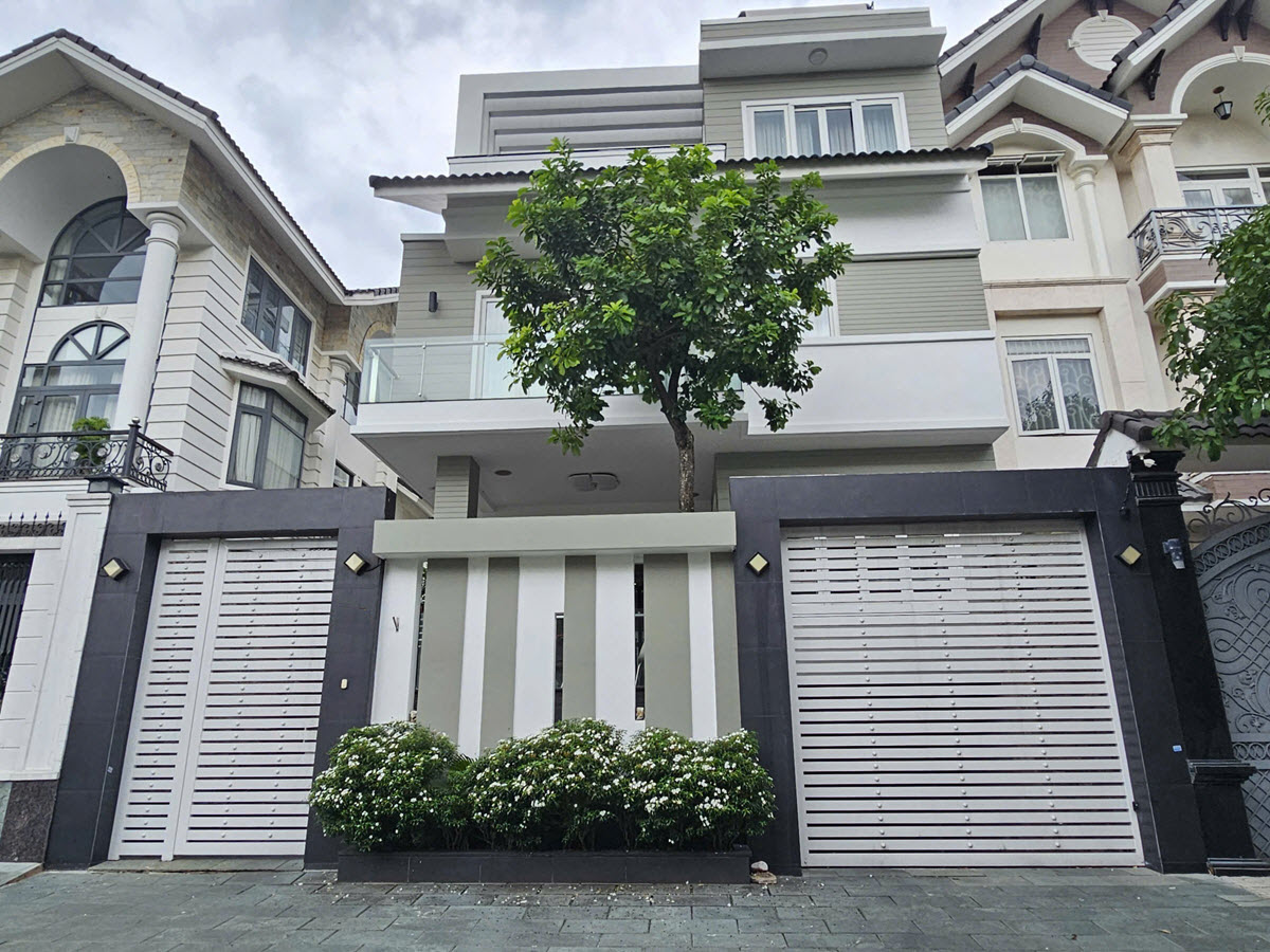
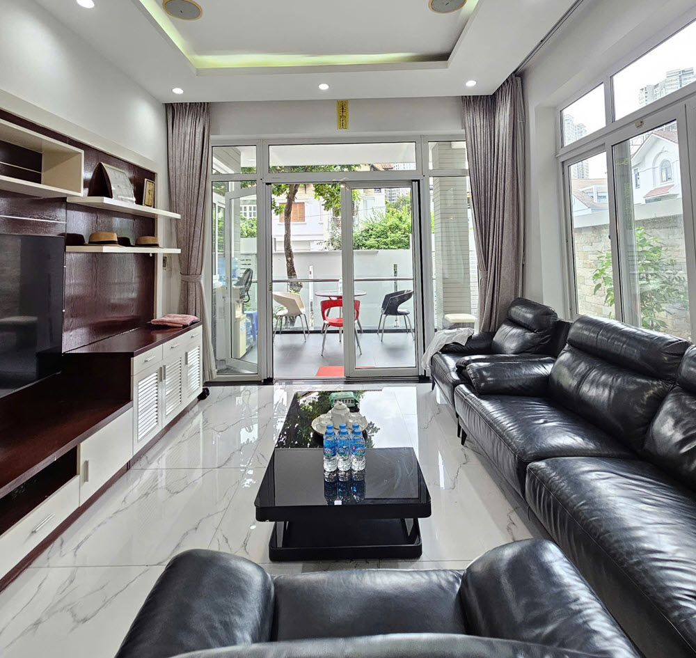
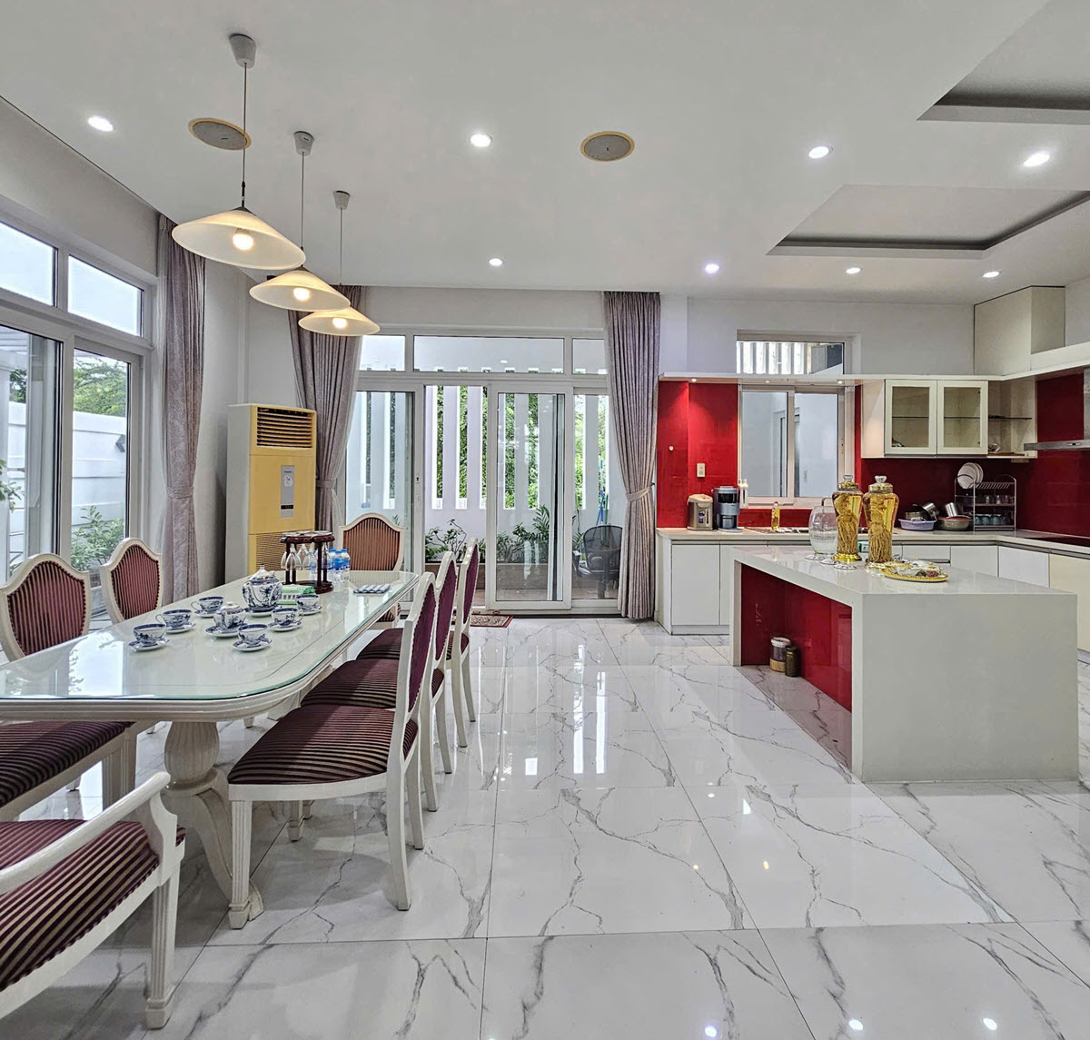
Master plan & location of the An Phu – An Khanh villa area:
The An Phu – An Khanh urban area (located in An Phu Ward, Thu Duc City, Ho Chi Minh City—formerly part of District 2) is a model urban development, systematically planned in the eastern part of Saigon. Below is an overview of the master plan and transport connectivity for this area: 1. Master plan of the An Phu – An Khanh urban area:
Total area: Approximately 131 hectares.
Functional zones: The project is divided into 5 main zones (Zones A, B, C, D, and E). Overview:
Developed as a multi-functional urban area, it encompasses low-rise residential zones (villas and terraced houses), high-rise developments (apartment complexes and commercial hubs), an extensive network of parks, water features, and social infrastructure (including schools, healthcare facilities, and sports centers).
Through various stages of development, the internal technical infrastructure—particularly within the central sub-zones—has become well-established, featuring a grid-patterned internal road network, underground utility lines (electricity, water supply, and drainage), and ample public space.
Boundaries:
- North: Borders Hanoi Highway (Vo Nguyen Giap Street).
- South: Borders Luong Dinh Cua Street.
- West: Borders Tran Nao Street.
- East: Adjoins roads in adjacent sub-zones, leading toward Do Xuan Hop Street and the expressway.
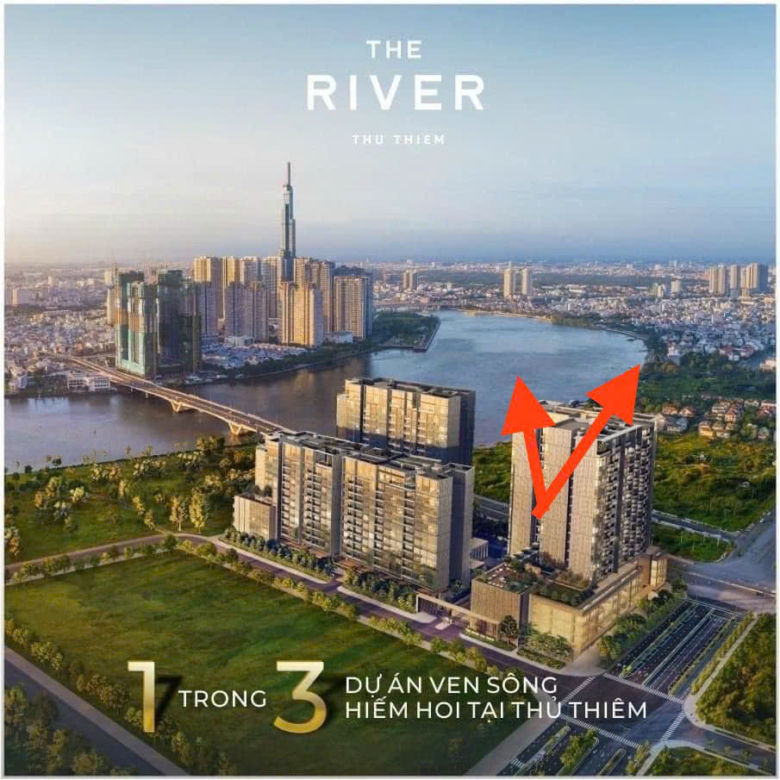
This location is situated immediately adjacent to the Thu Thiem New Urban Area and opposite the upscale Thao Dien residential enclave, forming one of the most vibrant and well-developed urban clusters in the eastern part of the city.
2. Transport Connectivity and Infrastructure
The An Phu – An Khanh residential area enjoys a strategic transport advantage, positioned at the intersection of several vital arterial routes in the eastern region of Ho Chi Minh City:
Key arterial roads surrounding and traversing the area:
Mai Chi Tho Avenue: Located along the southern edge of the urban area, this major thoroughfare serves as a primary backbone, allowing residents to travel quickly—via the Thu Thiem Tunnel—to the center of District 1 (in just 10–15 minutes). It also provides a direct connection to the Ho Chi Minh City – Long Thanh – Dau Giay Expressway. Hanoi Highway (Vo Nguyen Giap Street): Located along the northern boundary, it serves as a vital artery, providing seamless connectivity from Saigon Bridge through Thu Duc City, Dong Nai, and Binh Duong.
Luong Dinh Cua Street: Running along the southern boundary, this thoroughfare is currently undergoing infrastructure upgrades; it offers direct access to the core of the Thu Thiem New Urban Area and key traffic junctions.
Tran Nao Street: A bustling commercial street on the western side, providing quick access to Saigon Bridge—leading toward Binh Thanh District or the Ba Son Bridge.
An Phu Interchange:
Situated at the eastern gateway of the area, the An Phu Interchange—where the Ho Chi Minh City – Long Thanh – Dau Giay Expressway meets Mai Chi Tho and Luong Dinh Cua streets—is a major national infrastructure project. It is designed to alleviate traffic congestion through a multi-level configuration (including underpasses, overpasses, and surface-level roads), facilitating fast and convenient travel from the urban area to the eastern provinces, Long Thanh Airport, and surrounding regions.
Public Transit (TOD):
Residents enjoy easy access to high-capacity public transport, such as Metro Line 1 (Ben Thanh – Suoi Tien), with stations located along the Hanoi Highway (including An Phu Station). This allows for flexible travel to the city center and neighboring areas, reducing reliance on private vehicles.
For further details or to arrange a viewing of the villas, please contact:
MACRO REAL ESTATE – Hotline: 0933099061 (WhatsApp, Zalo, iMessage)
Thank you for your interest.