The city will almost certainly be more vulnerable to flooding and tropical storms
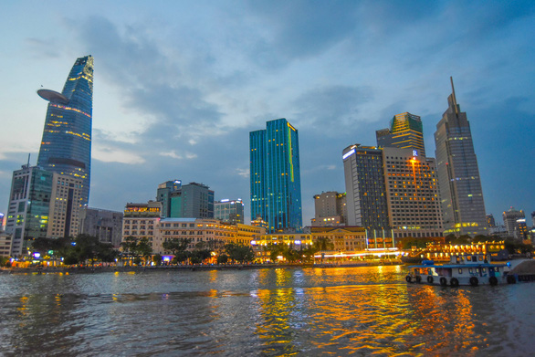
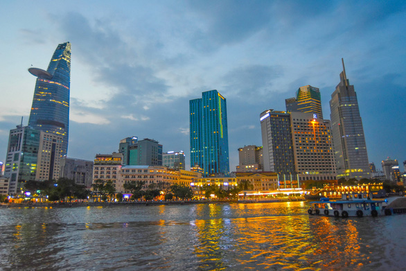
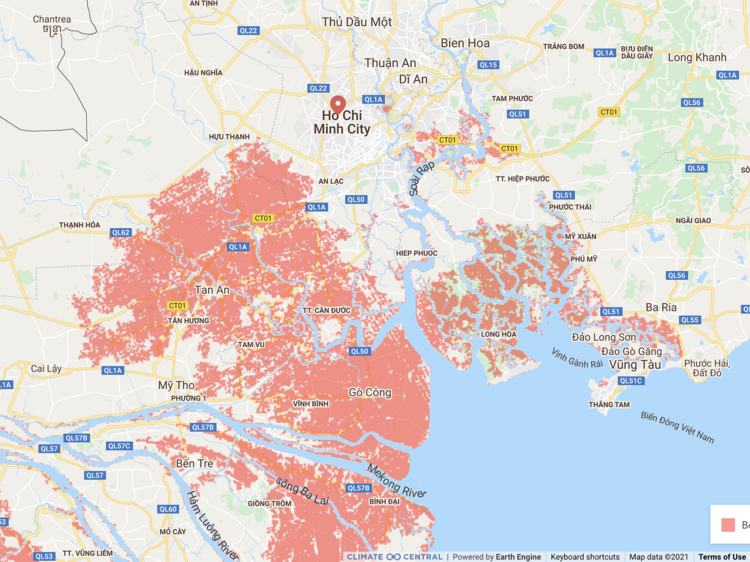
Rising sea levels threaten to engulf the eastern part of Ho Chi Minh City in water by 2030, according to a recent research produced by Climate Central, a U.S.-based science organization.
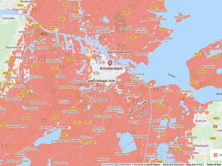
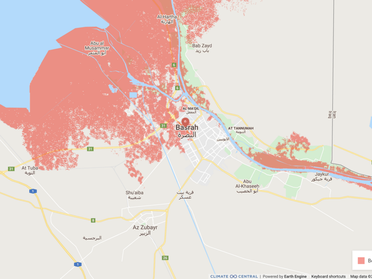
In its report, Climate Central created a map of sorts to assess which parts of the earth will be underwater before 2030 owing to rising sea levels, using information from the Intergovernmental Panel on Climate Change (IPCC), a United Nations body responsible for analyzing science related to climate change.
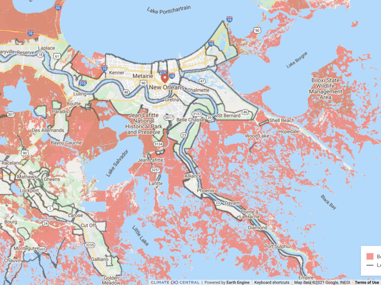
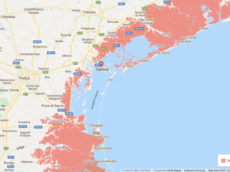
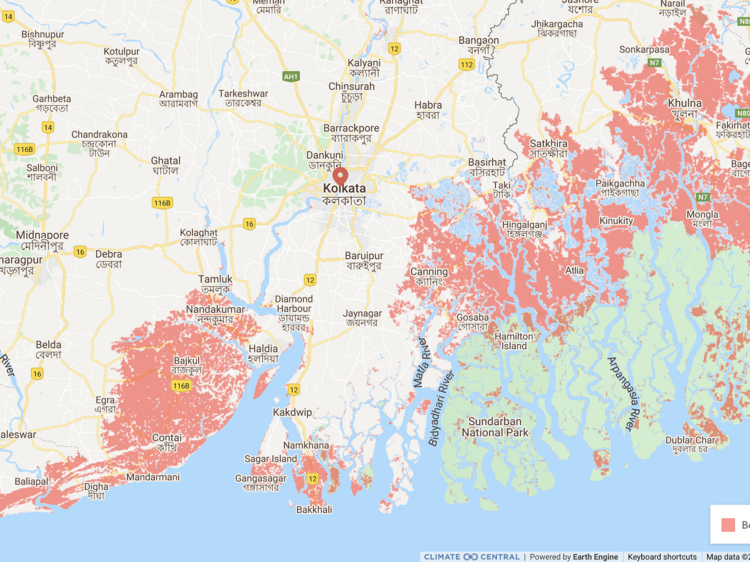
It appears that six cities, including Vietnam’s economic hub Ho Chi Minh City, could be underwater partially or entirely in less than a decade as icy glaciers continue to melt.
Climate Central’s map shows that the areas most at risk in Ho Chi Minh City are its eastern part – particularly the flat, heavily built-up marshland of Thu Thiem.
While the center of Ho Chi Minh City is unlikely to find itself underwater by 2030, it will almost certainly be more vulnerable to flooding and tropical storms, according to the report.
The other five cities named by Climate Central were Amsterdam in the Netherlands, Basra in Iraq, New Orleans in the U.S., Venice in Italy, and Kolkata in India.
Climate Central notes that the maps show future sea levels (in red) in the six cities but do not show what could happen during flooding or other extreme weather events.
Here are the six cities that could be underwater before 2030.
|
|
| Photo: Climate Central |
|
|
| Photo: Climate Central |
|
|
| Photo: Climate Central |
|
|
| Photo: Climate Central |
|
|
| Photo: Climate Central |
|
|
| Photo: Climate Central |


